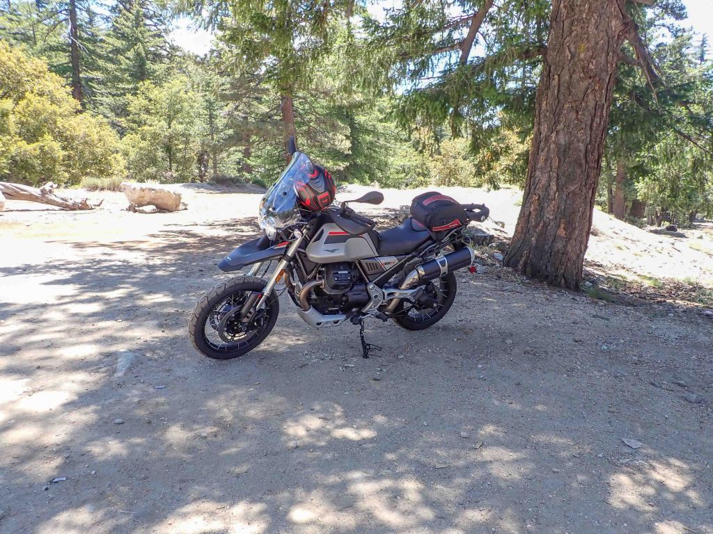
You’d never know it from the motorcycle magazines who seem to video every new road bike in Southern California, but the area is only so-so as a haven for riders. By far the greatest thing the area has going for it is all the sunshine. There is no such thing as winterizing a motorcycle in the Southland. We ride all year long. As the 70’s song said all too well, it never rains in California. Its so-so credentials are due mostly to the fact that the only way to get to a twisty road in the greater Los Angeles region is to take a freeway with its requisite 24-hour traffic. Off I210 near Azusa is one of those twisty roads, the San Gabriel Canyon, California 39.
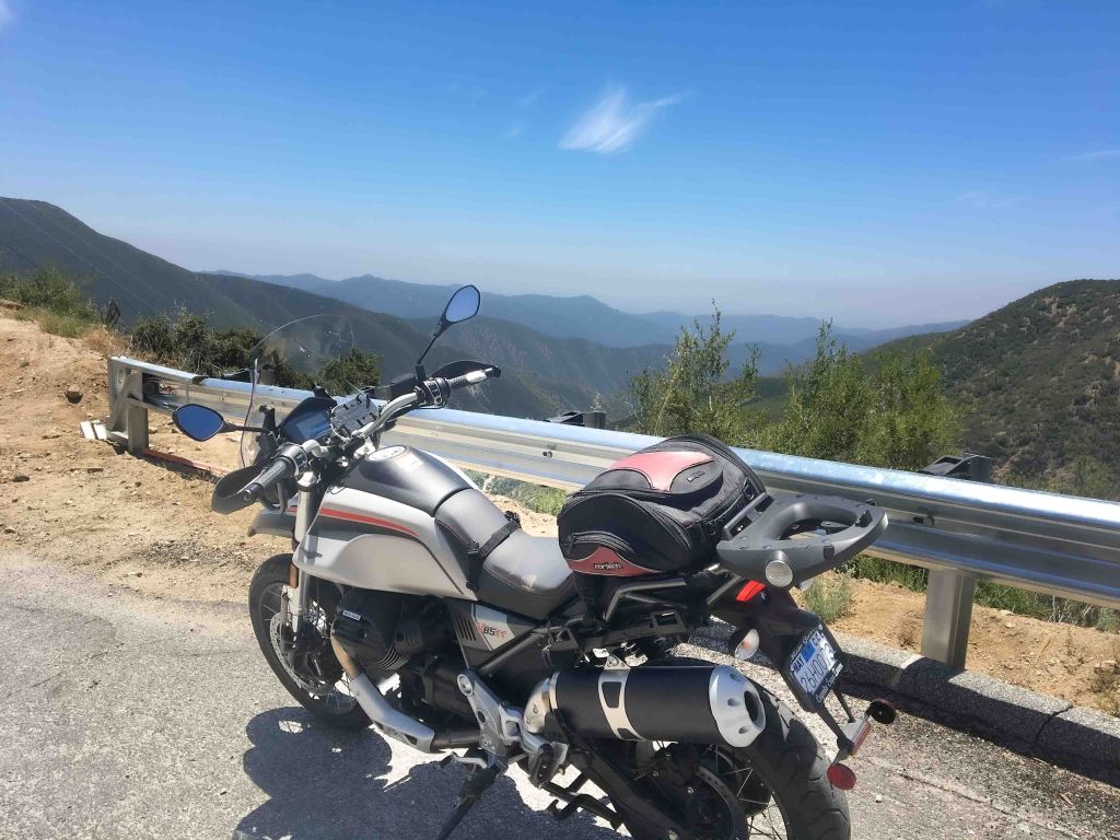
The Beach Boys probably knew about highway 39 because it ends in Huntington Beach at Surf City. The western terminus of the road is appropriately called Beach Boulevard since it goes to the beach. However, few Angelinos know the road goes from the mountains to the sea. The mountainous portion of the highway was built to go from Azusa over the top of the range to the famous Angeles Crest Highway, California 2. Unfortunately, it hasn’t been connected to highway 2 for many decades instead the road is a dead end at Crystal Lake, nestled near the crest at 6000 feet. It’s a perfect road for a motorcycle. A midweek ride to Cystal Lake is a great way to avoid the cars so common on weekends. The lack of cars combines with a variety of gradual and tight technical turns ascending the mountain past two reservoirs with the eventual ending in a secluded campground and store.
The road follows the San Gabriel River up a canyon that shares its name. While the river was probably pretty full this winter with all the atmospheric river activity throughout California, by June only signs of the rain and not actual water made the winter storms evident. The river was flowing in the canyon but not in abundance. There was little water behind the San Gabriel Dam, the second of the two designed to capture rain runoff. Stopping alongside the road to look down at the river, I noticed the usual brown gravel in the canyon had been replaced by fine grey silt. The silt was visible all the way to the base of the dam, with the base clearly visible from the roadway. Morris Dam, the first of the two in the canyon, was pretty full; not too overflowing, and not close to it. I’m not sure how they did it, but the US Navy used to test torpedo motors in the reservoir behind Morris. The chute to slide the torpedoes down is still in tack and clearly visible as you enter the canyon. The road was clear enough to view both the dam and the chute without stopping or being hidden behind some tall RV.
As a motorcycle rider I’s looking for the road to be clear of cars: on the weekends the road is heavily traveled, and speeds are at or below the posted speed limit, not clear for unobstructed travel. I’m also looking for a clean or clear road surface.; the granite and shale sides of the canyon make this road potentially hazardous for the motorcycle rider as the canyon is constantly falling into the roadway making the road dirty with rocks. While the occasional rock fall isn’t an issue for cars under normal circumstances, on two wheels it can spell disaster. The road up to Crystal Lake was stopped for work in three different spots, each a work crew to address this issue. For this rider the one-lane stoppages broke up any chance to get into a grove and settle into a rhythm on the twisty road up or down the canyon. The two young men who whooshed past me didn’t seem to have any trouble, however.
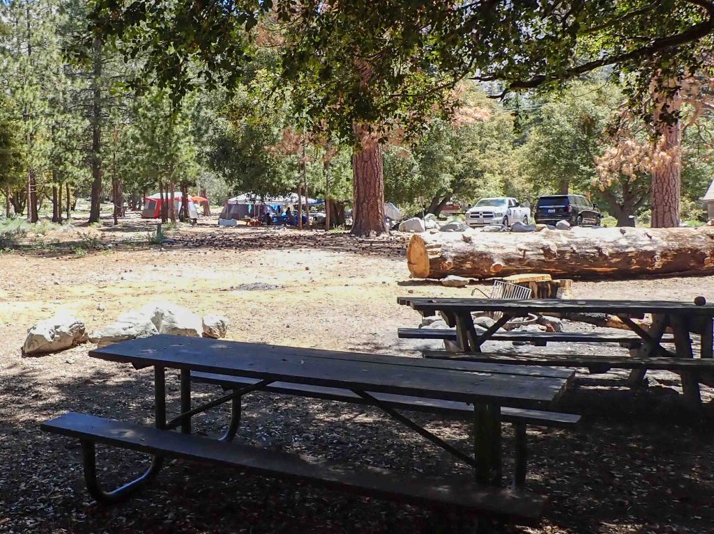
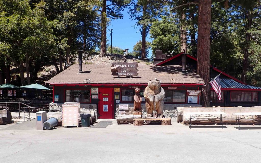
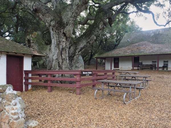
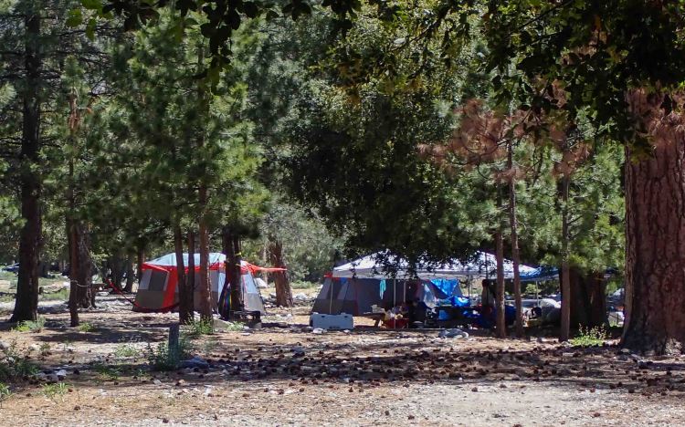
Up at Crystal Lake there were a couple of families camping and less than a dozen people walking the trail. Just perfect for a casual stroll to the lake. Dry air, buzzing insects and unique atmosphere of the San Gabriels made the walk to the lake pleasant. Not heavily forested with pine trees like the San Bernardino range next to it, the combination of oak trees, scrub oak and chapparal created a muted to slightly bitter smell that serve as a background for the limited number of pine and cedar trees that inundate the senses. At the campground, where some trees were being cut for firewood, the aromatic smell of pine was as refreshing as it was unique. Six thousand feet is high enough for the conifers to grow naturally. As they grow, they are plentiful enough to create an illusion of an alpine setting. The short one mile walk from the campground to Crystal Lake was pleasant enough in early June, but it will only be a week or so and it will be hot under cloudless skies. Even for the short walk taking the trek without water could be dangerous. The campsite has water to fill your bottle or canteen and a small store and grill is open six days a week (closed on Tuesday) with merch and snacks.
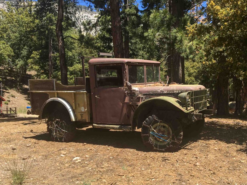
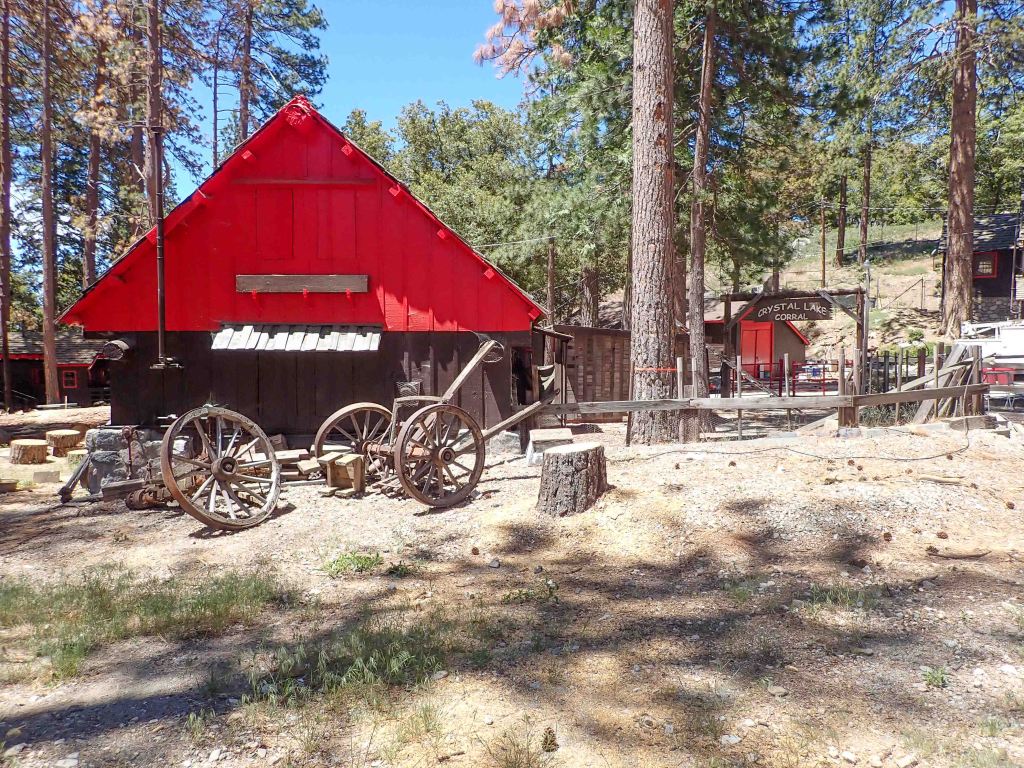
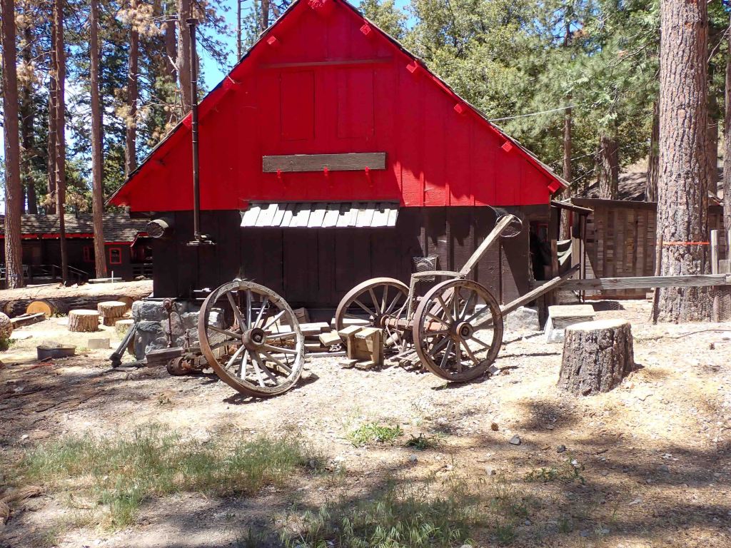
This is the kind of place where self-sufficiency is paramount. As you can see there is still a use for an old Willy’s pick up and the log splitter (not pictured) gets plenty of work. I didn’t see any horses in the corral, but the high-country vibe is good. A BBQ pit or open grill for a cowboy meal would be a winner here.
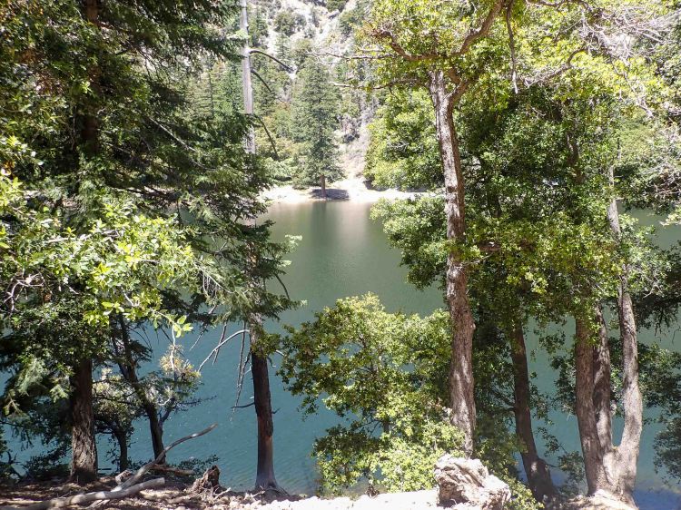
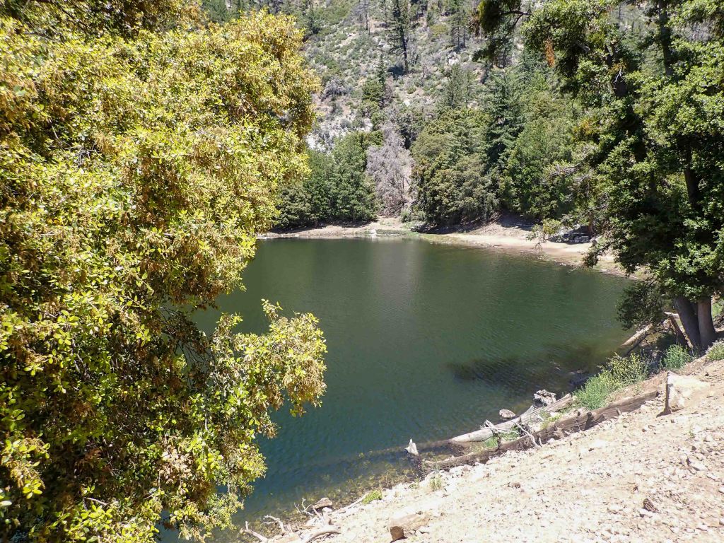
Rumor has it the lake got its name because the water was crystal clear at the turn of the last century when the journey was an all-day affair. The lake is formed by the snowpack melting into a natural bowl during the rainy season. The snow never lasts very long, from late November to late March would be the limit. It gets hot enough that the odds of the snow staying into the summer are virtually impossible, and the lake is filled at the end of every monsoon season. It is stocked in mid-June for those who are so inclined to take a pole and spend some time encouraging the fish to leave their natural home.
On a clear day the views are wonderful. The road connects via a bridge to the east fork of the river and then over to Glendora Mountain Road (GMR to the locals). While some drivers call the road scarry, it is a little slice of motorcycle heaven at the edge of the metropolis for others.
Like most motorcycle roads in LA, this one (regardless if you go in and out on 39 or do a loop to GMR) ends with a freeway. Unless you happen to live in the communities of Azusa, Covina, Glendora, northern Pomona, or West Covina you’re gonna have to get back in traffic to get home. Fortunately, it’s worth it.