Undaunted Courage is what author Steven Ambrose called it. Members of The Corps of Discovery endured intense physical exertion, extreme weather, saw amazing scenery, met interesting and sometimes hostile people, and nearly starved to death. Their courage and the report Lewis and Clark brought back changed the newly formed United States.
Consider exactly what happened. Two nations that only had a claim to the land because they declared it so negotiated an exchange for a vast swath of property they hadn’t been to and was already inhabited by people they never met or respected. France wanted the money to continue a war that involved all the countries in Europe and by extension their colonies. The United States wanted to continue its expansion across the continent. The inhabitants didn’t even know they were being traded. Neither Napoleon nor Jefferson really knew what was being exchanged.
Having made the transaction President Jefferson wanted to know exactly what he got in the bargain. He knew the right person to go find out and tell him. Meriweather Lewis, his secretary, already had some of the skills required to explore, investigate, and record the landscape, flora and fauna, and people he would encounter. Both his military experience and patriotism were required. Part of his task was to let the various people groups know what had happened and encourage them to accept the new political landscape. This included trade with the US instead of England, France, or Spain as they had been doing. Lewis likely knew the long-term plans were for their land to be occupied by Americans. Extending beyond the territory of the Louisiana Purchase, his Corps of Discovery were to continue to the Pacific coast and find a large river, like the Mississippi, that would enable the transport of goods from the western coast into the US.
Jefferson had the broad outlines of what he had purchased. He knew the French were trading for beaver and other furs in the center of territory. He knew the English were trading for otter pelts on the far western edge of the continent, territory just beyond the purchase area. He knew the Spanish still owned much of the land on the southern and western edges of this land that was annexed to the United States. He also knew there were many other nations within the boundaries that had not been a party to the agreement with Napoleon but would be necessary to acquire the resources via trade and convert the land into a growing and economically successful America. Jefferson’s vision of the yeoman farmer as an American ideal would play a big part in the eventual use of the land we now call the Great Plains.
The Louisiana Purchase included the entire watershed of the Missouri River. All or part of fifteen states that came out of the territory. In the early 19th century main roadways were frequently water: they were smooth, provided a push (at least in one direction), required little in the way of muscle power to use, were fast, and had built in way points. As it drains the midcontinent, the Missouri joins the Mississippi which in turn ends at New Orleans on the southern end of the continent. By harnessing the route and resources of the Missouri River Americans could not only produce goods for use and trade, but they also had a built-in road to transport those same goods to markets around the globe. If there was a water passage to the western end by river to the Pacific Ocean somewhere in the northern territories, the conquest of the continent would be complete.
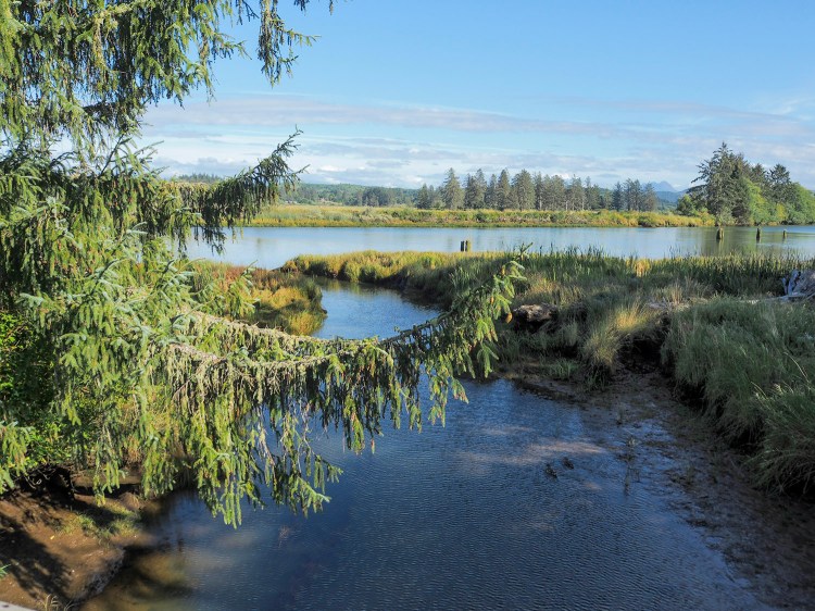
Following the Columbia from the inland side would be one of the major focuses for the Corps of Discovery. Reach the Pacific Ocean and bring back a report that shows we can float (transport) goods from sea to shining sea, Jefferson implored Lewis in his directions for the journey. Lewis, a faithful servant of the country did just that. He didn’t stop until he reached the western edge of the continent, even after he knew the Columbia River would not fulfill the hope of a continuous passage to the Missouri. At their turn around point the Corps of Discovery built a fort named after the people who helped them wait out the winter rain of the Pacific Northwest and explore the Pacific Coast. A recreation of Fort Clatsop, the temporary living quarters of the Corps of Discovery and turn around point in 1805-06, awaits modern visitors interested in the journey, the Columbia River, and the state of the land and its people 200 years ago.
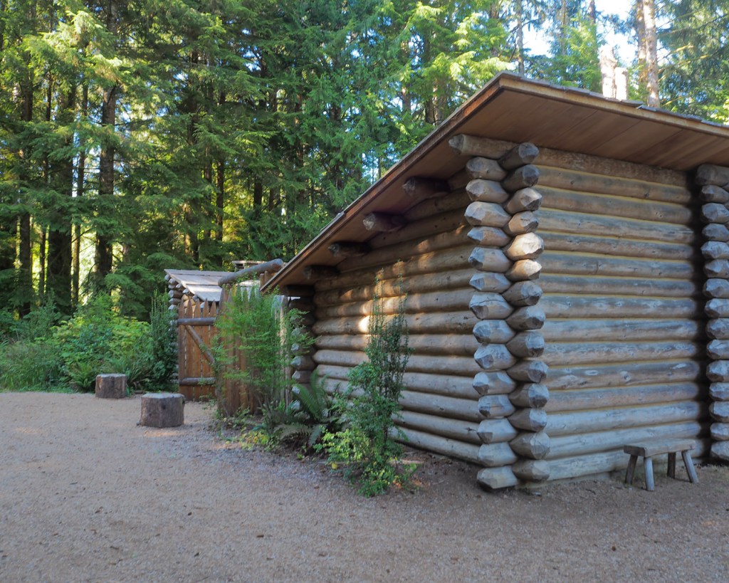
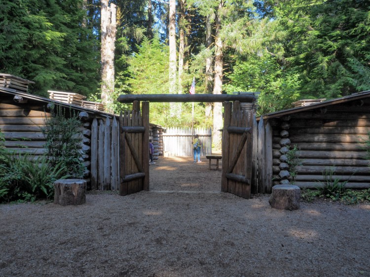
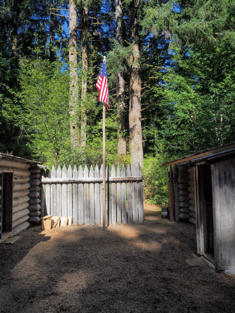
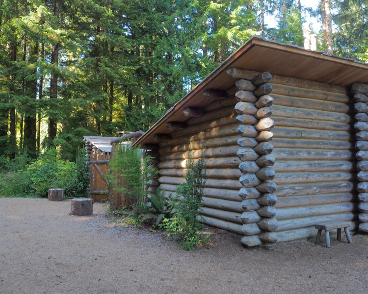
Fort Clatsop sits among cedars and firs on a tributary of the Columbia and a few miles from the estuary. While small, it looks like any picture or illustration you remember from elementary school of a wooden fort. The sides are halves of tree trunks, there is a big gate that can welcome or restrict entry of others in the area, and it has defensive turrets on the corners. It could easily have been patterned after an east coast fort built before the revolution or when the meaning of the west to Americans was Ohio, Tennessee and the immediate area west of the Appalachians. While there, Lewis and other members of the Corps saw a beached whale, traded with the local Indians, and harvested the local resources for food, including large mammals like deer.
Cultural differences between the Clatsop nation and the Americans were on full display. The Clatsop were a salmon culture with food, living areas, and trade built around the annual salmon run that began at the Columbia and ended inland as far as the Salmon River in present day Idaho and Montana. Their swift canoes were made from burned out tree trunks of large trees like the Sitka Spruce which are native to the area. The Americans favored deer, which although prized by the members of Lewis’ and Clark’s team, were not a significant food source for the local people. On the other hand, whales were important to all. Lewis and Clark, having heard of a dead whale on the nearby beach went to the site with the intention of harvesting some of the oil. The local people were well into task of cutting, boiling and disassembling the carcass, Consequently, they had to trade for some oil, the much less than they had expected.
We visited Fort Clatsop during the summer late in the day, The rain that the pacific northwest is famous for and that nearly drove the members of the Corps of Discovery crazy left us alone, allowing us to roam the grounds in afternoon comfort. Surrounded by large trees, the area was shaded and cool. Located a short walk from the parking lot, the fort itself is small and took little time to view. Officers and enlisted men were on opposite sides of the fort and its sparse accommodations might remind veterans of the kind of spartan living military service can include. If you go don’t skip the visitor center. In addition to a brief video explaining the fort and a bit of the trip, the displays included artifacts that are both unique to the trip and help capture some of the journey. A large dugout canoe was on display along with a metal Lewis distributed to welcome the residents of the territories and encourage them to visit the President in far away Washington D.C. In one corner is an explanation of Lewis’ smokeless gun that fired a small bullet by using air pumped into the rifle.
For those who want to know more about the journey, there were several books available including the one I purchased titled, The Way to the Western Sea: Lewis & Clark across the Continent by David Lavender. Undaunted Courage by David Ambrose is another highly readable and informative option. I highly recommend both titles if you are interested in learning more about the territory and its people before the native plants were supplanted by agriculture and some of the effects of the buffalo and the culture created by many of the tribes along the route who used everything the animal provided to live on the land. Reproductions of some of the journal pages kept by members of the expedition help reveal what new species the Corps encountered and display how Lewis and Clark kept their journals. Many visitors may be surprised at the appearance of the pages which do not look anything like “dear diary”. The Way to the Western Sea has a line drawing from the pages at the beginning of each chapter. Lavender has included maps to help the reader get an idea of the parts of the continent the Corps walked along with locations of some of the tribes and nations they encountered.
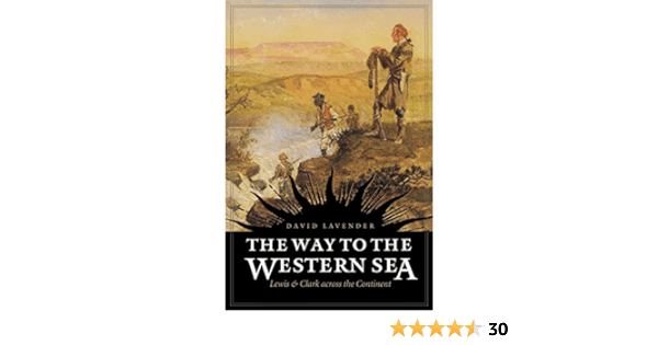
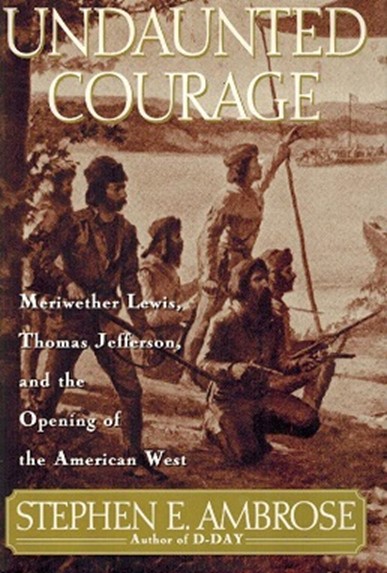
Fort Clatsop is a half day stop on a family vacation. It would take an especially interested visitor to explore the surroundings and the small river used by the Americans in 1805-06. For the few that want a broader experience, I bet a canoe paddle from the river out to the Columbia and back would not only fill out the day but might reveal additional insight to the winter spent on the site. You might back up the visit with some time in Astoria and learn about the failed attempt by John Astor to establish a trading outpost on the Pacific Northwest to trade for sea otters and sail them to Japan and China for goods in an around the world trade route with the eastern United States.